Route Name: Hatatate-iwa Chuō-ryo (旗立岩中央稜)
Mountain: Kentoku-san (乾徳山 2031m)
Map sheet: 26 [Yama-to-kougen-chizu (山と高原地図) series]
Length: 3 pitches (100m) + 1 extra pitch to summit
Time: 3 hours (+ 5 hours hiking)
Grade: IV+ crux

Mt Kentoku (乾徳山),
in the Yamanashi portion of the Oku-Chichibu mountains, is a perennial favourite
among hikers and trail
runners keen to escape the heat of the lower elevations during summer. The
chains and rock steps of the final hour to its 2031m summit provide a few
thrills of their own, but the area is also not without interest to multipitch climbers.
At the top of the mountain’s western flank sits a 3-pitch arête
composed of good quality andesitic rock, ascending sharply to the summit area
with fantastic exposure and airy positions. When combined with a final superb
pitch to the summit itself, it all makes for a very satisfying day with a
surprisingly alpine feel for such a modest elevation.
Getting there:
If travelling by train from Tokyo (東京)
or Shinjuku (新宿), take a Chuō Line (中央線) train out to Enzan (塩山) station. It takes around 90
minutes by limited express. Next, you’ll need to take a bus from just outside
the south exit of Enzan station.
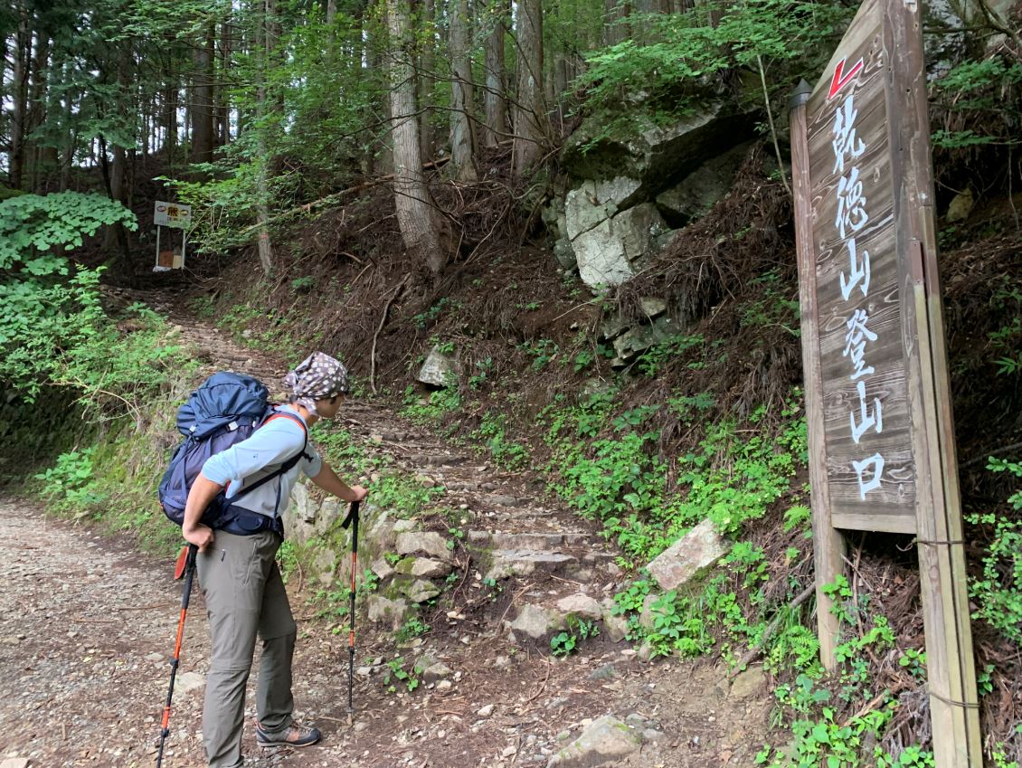
If travelling by car, head to Enzan, get onto Route 140 and
then turn off onto Route 209 up to a car park near the Kentokuzan-tozanguchi (乾徳山登山口) bus stop and trailhead.
Description:
Continue
up the road from the trailhead car park for about 20 minutes, initially on
smooth tarmac and then transitioning into rough dirt road. There are several turnings
along the way, but they are all marked with signposts for Mt Kentoku.
Eventually
you will come to the trail entrance ascending up on your right.
At
first the trail ascends through the dark forest near a stream, but soon leaves
that behind and begins to zigzag upwards quite steeply. Things begin to open out
somewhat the higher you go, and after a little more than an hour you will come
to a water supply. This is the last water supply on the mountain, so fill up
here.
Another
15-20 minutes will bring you out into Kokushi-ga-hara (国師ヶ原),
a beautiful area of open grassland on the side of the mountain, reminiscent of
a high alpine pasture in miniature, with a lovely hut (Kougen hyutte, 高原ヒュッテ)
several minutes off the main hiking trail. This area looks to be a fantastic
place to spend a night, with great views across to Mt Fuji, if you wanted to
turn this trip into a weekend.
Continuing
through this grassland, the trail then ascends fairly steeply for another half
hour and opens out completely at the Ougi-daira plateau (扇平).
You will soon arrive at the distinctive Tsuki-mi rock (月見岩),
named for its apparent charms as a spot for moon-gazing.

From
here follow the trail to your left into the final hour of hiking and scrambling
towards the summit area. As you go up through the forest things become more
scrambly and finally, after passing several rock steps with in-situ chains, you
will come to a rock with a blue sign declaring it to be Amagoi-iwa (雨乞岩).
This is a good place to gear up and stash your backpacks, as the arête you’ve
come to climb tops out right here.

To
access the start of the route, walk back down the hiking trail the way you came
for about 50m and you will find a cleft in the rock face with an in-situ rappel
anchor at the top. Make a 25m rappel down through the chimney below to a
comfortable ledge at a second in-situ anchor.


Now
make one more rappel down the loose gully below. Double ropes would be best for
this one, or just be careful as you will reach the end of your rope halfway up
a fairly steep and exposed rock step, and will need to downclimb.
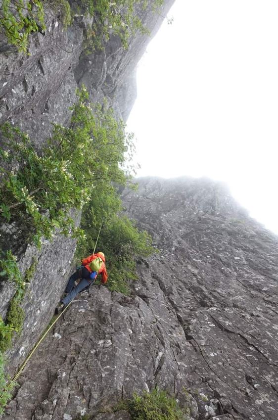
Once
below the rock, you now need to traverse down and to climbers right across the
face. There is a faint sort of trail, and you will need to cross several rocky
ribs and pass under a wide face with several harder climbing routes on it. Keep
going for about 100m until you pop out into a scree gully with a rocky arête
starting up on its right edge. Be aware that you are not in the right place
unless you are looking at precisely this scenery:

You
are now at the start of the wonderful 3-pitch Hatatate-iwa central arête.
Approximate pitch descriptions are as follows:
Pitch
1: Climb the initial slabby face on small holds up to the overhang, and pass
this on the right side. Gain the sharp arête and climb it for several metres to
the anchor. (40m, IV+)

Pitch
2: Continue up the arête on exposed but well-featured rock to the top of a sort
of tower. From here traverse across a spectacular knife-edge arête to belay
wherever you choose on a mix of in-situ gear and trad gear. (40m, III)


Pitch
3: Climb the final wider face to the top of Amagoi-iwa to rejoin the hiking
trail. (20m, III)

Now
continue up the hiking trail to the foot of the final headwall with the
lightning fork crack and chains hanging down it. To access a final pitch of
excellent climbing, traverse out across the West face to a sloping terrace.
Pitch
4: Climb the knife-edge arête on its left edge, past an overhang, then continue
up the easier but exposed final section of arête to belay just short of the
summit post. (50m, IV+)


On a
clear day the views from the summit are really something special, although
expect to be sharing it with plenty of hikers.

To finish off, just collect your backpacks and reverse the hiking trail back to the trailhead, for the car park or bus stop.
Overall:
This route probably gets far less attention than it deserves, due to the 3-hour 1000m approach. But for those who find joy in exposure, natural lines and beautiful friction rock in an alpine setting, this really is a fine outing in the classic style. Bring plenty of slings and quickdraws, and a rack containing a variety of small cams and aliens.
For more classic route descriptions, along with topos, approach maps, photos and much more, get your copy of the new second book in the Climb Japan series from Amazon!

No comments:
Post a Comment